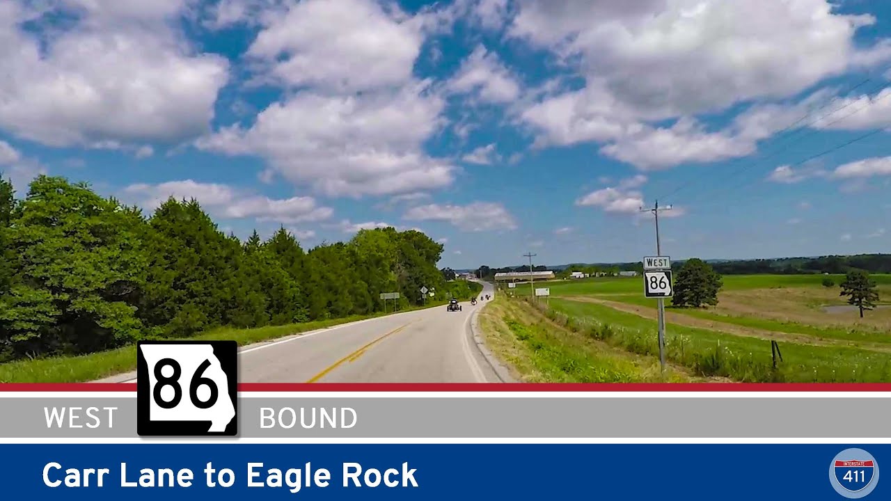
Welcome to a short but essential drive along one of Missouri’s lesser-known state routes — Missouri Supplemental Route P. This brief, one-mile connector runs from Route 86 near the small community of Eagle Rock southward to the Arkansas state line, where it becomes the northern terminus of Arkansas Highway 23. Despite its short length, this little road plays an important role in linking the scenic Missouri Ozarks to the even more dramatic terrain of northern Arkansas.
We begin our drive at the intersection of Missouri Route 86, just west of Eagle Rock — a small, quiet community nestled near Table Rock Lake. While Route 86 is the main east-west thoroughfare in this area, Route P is the road less traveled, heading due south into the tree-lined hills that characterize this stretch of the Missouri-Arkansas border. The surroundings here are peaceful and rural — expect to see pastures, hay bales, the occasional farmhouse, and maybe a tractor or two during your drive.
As we make our way south, the scenery continues to reflect the charm of the Missouri Ozarks — a blend of rolling hills, wooded plots, and winding property lines. The road curves gently as it makes its descent toward the state line, providing an atmospheric entrance into Arkansas. At the border, Route P transitions seamlessly into Arkansas Highway 23, a route far more famous thanks to its scenic passage southward through the Ozark–St. Francis National Forest via the Pig Trail Scenic Byway.
This short drive might not seem like much at a glance, but it’s a critical link for travelers heading into Eureka Springs or those starting a road trip down one of Arkansas’s most iconic scenic highways. It’s also a nice little detour if you’re exploring Table Rock Lake or driving the backroads between Cassville, Missouri, and northwest Arkansas. If you’re into road trips, motorcycle tours, or scenic drives, this is the kind of connector that turns a good route into a great one.
https://www.openstreetmap.org/directions?engine=fossgis_osrm_car&route=36.51309%2C-93.71252%3B36.49943%2C-93.70977#map=12/36.5052/-93.7031
🗺️ Route Map
SmartMap Error: Invalid or missing URL.

0 Comments