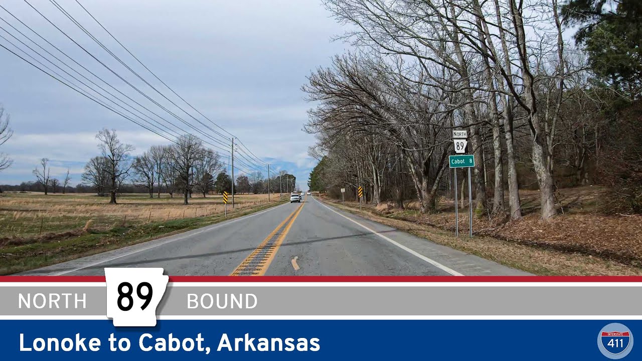
ake a 19-mile drive along Arkansas Highway 89 from Lonoke to Cabot, passing through quiet farmland, wooded stretches, and suburban neighborhoods. This scenic route captures the transition from rural Arkansas to the bustling heart of Cabot.
Arkansas Highway 89 (AR 89) is a state highway in central Arkansas, comprising two non-contiguous segments that together span approximately 41 miles through Lonoke, Pulaski, and Faulkner counties. This route serves as a vital connector for local communities, offering scenic drives through rural landscapes and facilitating regional mobility.
Southern Segment: Lonoke to Zion Hill
The southern segment of AR 89 begins at U.S. Highway 70 (US 70) near the western edge of Lonoke. From there, it travels northwest for about 7 miles to Furlow, intersecting with AR 15 and AR 294. Continuing northward, the highway passes through agricultural areas before reaching Cabot, the largest city along its path. In Cabot, AR 89 serves as South Pine Street and West Main Street, providing access to local businesses and residential neighborhoods. The route then proceeds westward, crossing AR 5 at the Pulaski–Lonoke county line, and concludes at AR 107 near Zion Hill, approximately 8 miles south of Vilonia.
Northern Segment: Sayles Road to Lollie
The northern segment resumes at the Pulaski–Faulkner county line as a continuation of Sayles Road. It extends westward for about 11 miles, intersecting with Interstate 40 (I-40) and AR 365 near Mayflower. This area has seen significant improvements, including a new overpass over the Union Pacific Railroad line, completed in May 2023, to alleviate traffic delays caused by train crossings. Beyond Mayflower, AR 89 continues west for approximately 5 miles before as Lollie Road near the community of Lollie, close to the Arkansas River.
Regional Significance and Future Developments
AR 89 plays a crucial role in connecting rural areas to urban centers, facilitating access to major highways, and supporting local economies. In Cabot, the highway intersects with U.S. Route 67/167 (Future I-57), providing a link to Little Rock and other key destinations. The Arkansas Department of Transportation (ARDOT) has ongoing projects to enhance the highway’s capacity and safety, including widening sections and improving interchanges.
Additionally, ARDOT has conducted corridor studies to explore the potential of connecting the two segments of AR 89, aiming to create a continuous route that would improve east-west travel in the region. These efforts reflect the highway’s importance in regional planning and its role in accommodating future growth and transportation needs.
ake a 19-mile drive along Arkansas Highway 89 from Lonoke to Cabot, passing through quiet farmland, wooded stretches, and suburban neighborhoods. This scenic route captures the transition from rural Arkansas to the bustling heart of Cabot.
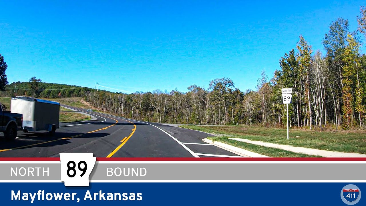
Explore a 5-mile drive along Arkansas Highway 89 in Mayflower, featuring the new Mayflower bypass and a scenic stretch west of town. A short yet notable route in central Arkansas.
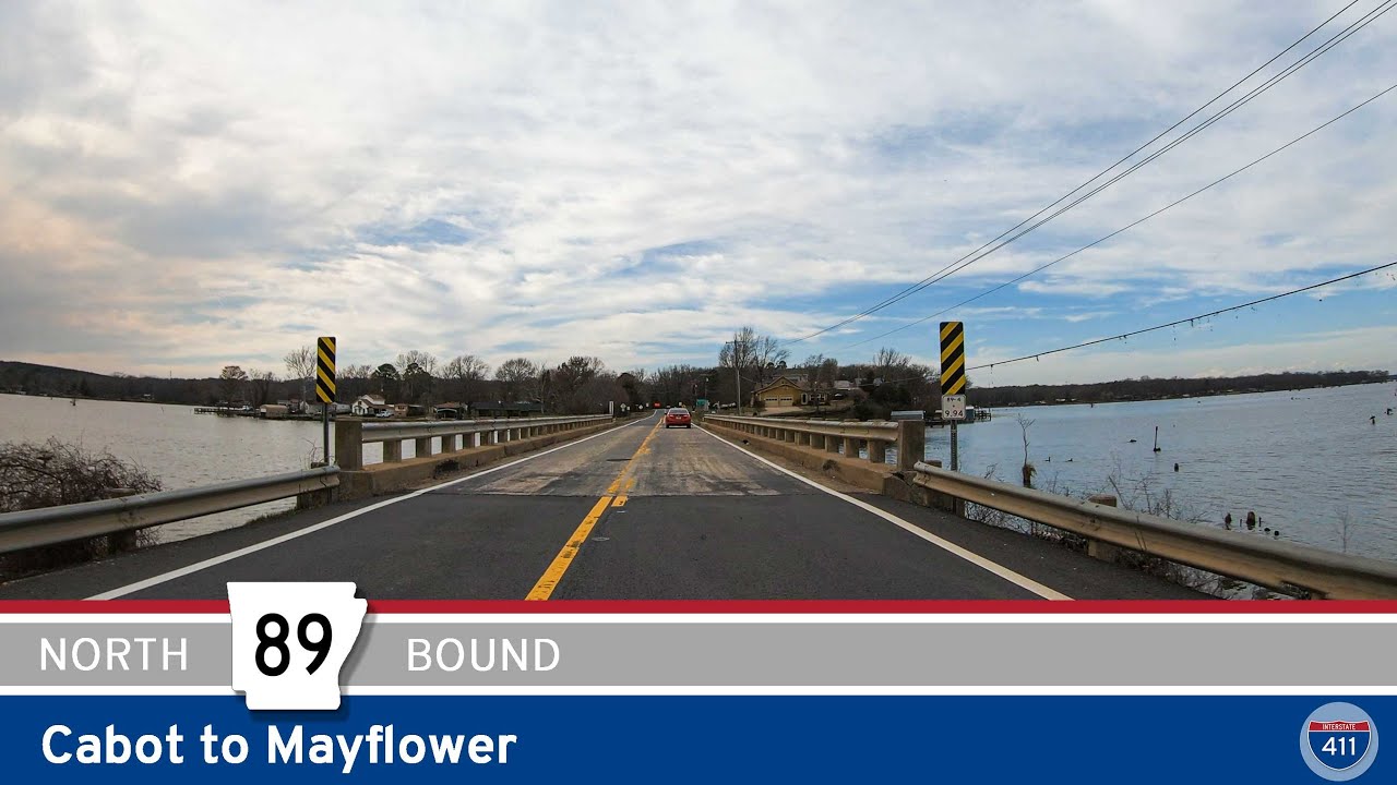
Explore the scenic route of Arkansas Highway 89 from Cabot to Mayflower, a 25-mile drive through rural towns, farmland, and along the edge of Camp Robinson. This segment includes a historic alignment and the new Mayflower bypass.