If you’re looking for a quick taste of Arkansas’s quirky rural highways with a side of unexpected scenery, the drive along Arkansas Highway 363 from Atkins to Pottsville is a perfect example. Spanning just about 8 miles, this route isn’t your typical straight-shot state road—here, it winds up and over Crow Mountain, offering both a bit of a workout for your steering wheel and some great views of the Arkansas River Valley.
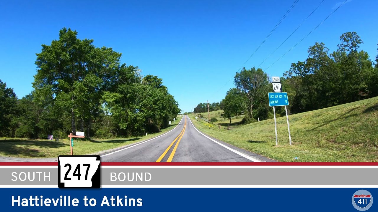
Our journey kicks off in the small town of Atkins, where we leave Arkansas Highway 105 behind and head north on AR-363. Right from the start, you’ll notice this isn’t your average farm-country road: the highway wastes no time before starting its climb up Crow Mountain, threading through a series of tight switchbacks that’ll have you double-checking your mirrors and enjoying the challenge. As you make your way up, be sure to take a quick look back now and then—the valley views are worth a short stop, especially on a clear day. There’s a real sense of rural Arkansas here, with scattered farms, dense patches of woodland, and a feeling that you’re well off the beaten path.
As the climb levels out, the highway straightens for a bit—though “straight” is relative here, as the signage can get confusing. Officially, AR-363 north ends, but the paved road continues as Crow Mountain Road, still heading west and then northwest along the spine of the ridge. It’s easy to see why some maps still call this stretch AR-363, but the state disagrees. Watch for Bowden Cemetery Road: here, you’ll turn south, and just like that, you’re officially on AR-363 south, even though you haven’t changed roads or directions. It’s one of those “only in Arkansas” routing quirks that make highway drives here a little more fun.
The descent from the ridge is a gentler affair, with long, winding curves and more open views across Pottsville and the farmlands beyond. As you come down off Crow Mountain, the scenery shifts from thick woods to open fields, dotted with a handful of old barns and the occasional cluster of cows. You’ll soon cross over Interstate 40 and glide right into Pottsville. The route ends a few dozen feet later at U.S. Highway 64, with the town of Pottsville welcoming you back to level ground. Along the way, if you’re a fan of small-town Arkansas or simply enjoy a road with a bit of personality, AR-363 delivers.
Things to See Along the Route:
-
Crow Mountain Overlook: While there aren’t any official pull-offs, there are plenty of spots to catch views back toward Atkins and the Arkansas River Valley as you crest Crow Mountain.
-
Rural Arkansas Scenery: Keep an eye out for wildflowers along the roadside in spring and early summer, as well as the occasional deer or turkey crossing your path.
-
Historic Farmsteads: You’ll pass several working farms and old barns, a testament to the agricultural history of the region.
00:00 AR-363 Northbound
03:53 END AR-363 North / Begin Crow Mtn. Road
10:57 BEGIN AR-363 South
🗺️ Route Map
Due to OSM limitations, we are unable to provide a map for this route. Google Map: https://maps.app.goo.gl/rVaGwxzTqiVgMRRFA
0 Comments