Join us for a scenic journey along Arkansas Highway 16 as we travel west from Cross Roads to Greers Ferry, a route that not only connects small towns but offers up classic Ozark landscapes and a taste of lakeside Arkansas. This 9-mile stretch is a perfect example of what makes rural highway drives special—winding roads, wooded hills, glimpses of the lake, and the feeling that you’re discovering a different side of the Natural State.
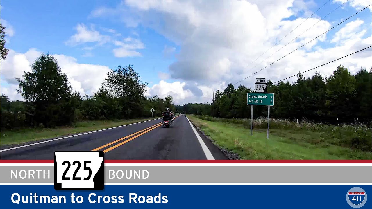
Starting out in Cross Roads, we turn onto Highway 16 from Highway 225, heading north through gently rolling countryside. The area around Cross Roads is about as rural as it gets—expect farmland, patches of forest, and maybe the occasional tractor sharing the road. This region is part of Cleburne County, a quieter slice of north-central Arkansas that’s well off the interstate grid, but close to outdoor destinations. Early in the drive, keep your eyes peeled for classic barns and the kind of backroads scenery that makes this area a favorite with road trippers and Sunday drivers alike.
As we wind north, the road takes us toward the junction with Arkansas Highway 92, just west of the tiny community of Higden. This is a great spot to pull off if you want to explore a bit—Higden may be small, but it has its own charm. Just a short detour will bring you to the Higden Bridge Recreation Area, a local favorite for fishing and picnicking on Greers Ferry Lake. The lake itself is a destination for anglers and boaters from all over the state, so if you’re into fishing, this stretch of Highway 16 is a solid route to launch your day.
Continuing west on AR-16, we pass through the center of Higden before the road curves to the east for one of the most unique features of the drive—the crossing at “The Narrows.” Here, Highway 16 becomes an elevated causeway and bridge, offering panoramic views of Greers Ferry Lake. It’s a striking spot where you’re literally surrounded by water on both sides, and it’s a favorite for photos. On warm weekends, you’ll see boats zipping below and maybe a few anglers casting from the shoreline. If you’ve never crossed The Narrows, it’s a must-do for any Arkansas road trip fan.
After the bridge, we reach the town of Greers Ferry. While small, Greers Ferry serves as a gateway to some of the best outdoor recreation in the area. You’ll find gas stations, a few local eateries, and easy access to Greers Ferry Lake. The road turns north here, skirting the lake as we meet the eastern junction with AR-92. But don’t rush off—just beyond town, a short drive north brings you to the Devils Fork Recreation Area, home to swimming beaches, boat launches, and picnic areas right on the water. It’s one of the main access points to the western side of Greers Ferry Lake, making it a popular destination for families and outdoor enthusiasts alike.
Whether you’re just passing through or planning a day by the lake, the route from Cross Roads to Greers Ferry on Highway 16 is a relaxing drive with a front-row seat to Arkansas’s lake country. If you love road trips that balance winding country roads with natural beauty and local flavor, put this stretch on your list.
🗺️ Route Map
0 Comments