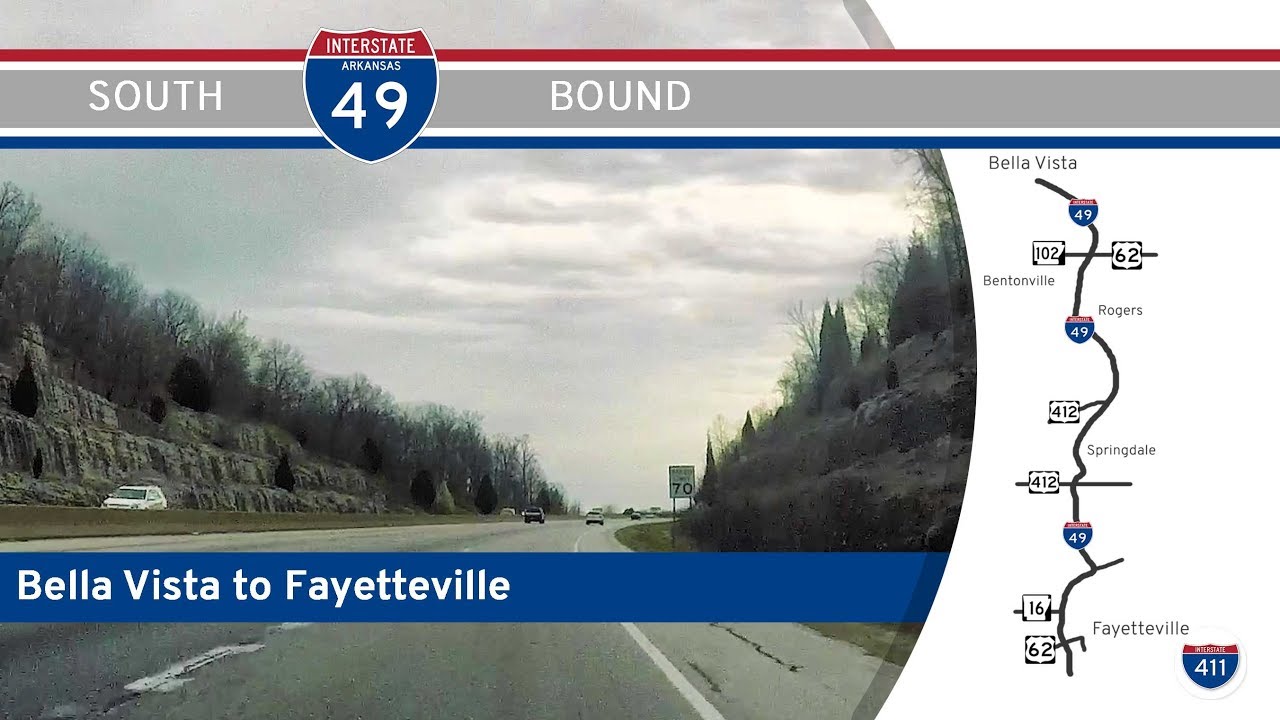
Cruise through the heart of Northwest Arkansas on Interstate 49 from Bella Vista to Fayetteville. Explore a corridor of booming towns, scenic hills, and cultural landmarks along this dynamic 31-mile drive.
The 🛤️ Lost Highway tag is used for videos and segments that feature roads, alignments, or highways that have been abandoned, decommissioned, or significantly altered to the point that they no longer exist in their original form. These routes may now be ghost roads, repurposed as local streets, or completely erased from the landscape by development or nature.
Often overshadowed by modern infrastructure, these lost highways represent a bygone era of travel—old alignments that were once vital connectors, now bypassed, submerged, or reclaimed by the environment. Some still have visible traces like cracked pavement, faded signage, or bridge remnants, while others live on only through documentation and memory.
This tag serves as a historical archive for viewers interested in transportation history, showcasing the evolution of America’s road network and the places that have been quite literally left behind. It’s about honoring the legacy of travel—even where the road no longer leads.
Cruise through the heart of Northwest Arkansas on Interstate 49 from Bella Vista to Fayetteville. Explore a corridor of booming towns, scenic hills, and cultural landmarks along this dynamic 31-mile drive.
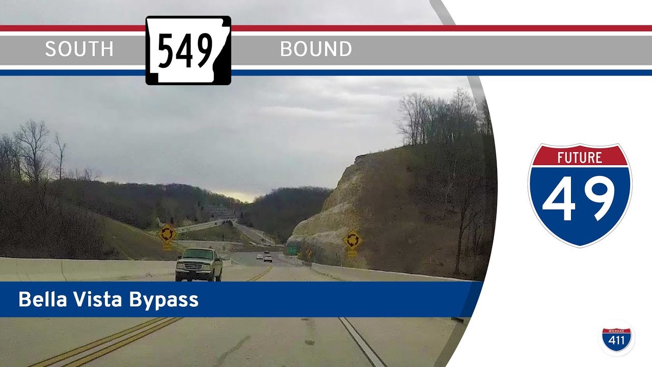
Explore the Bella Vista Bypass before its transformation into Interstate 49. Take a scenic 11-mile drive along the old AR-549 in Northwest Arkansas, capturing a snapshot of the region’s growth.
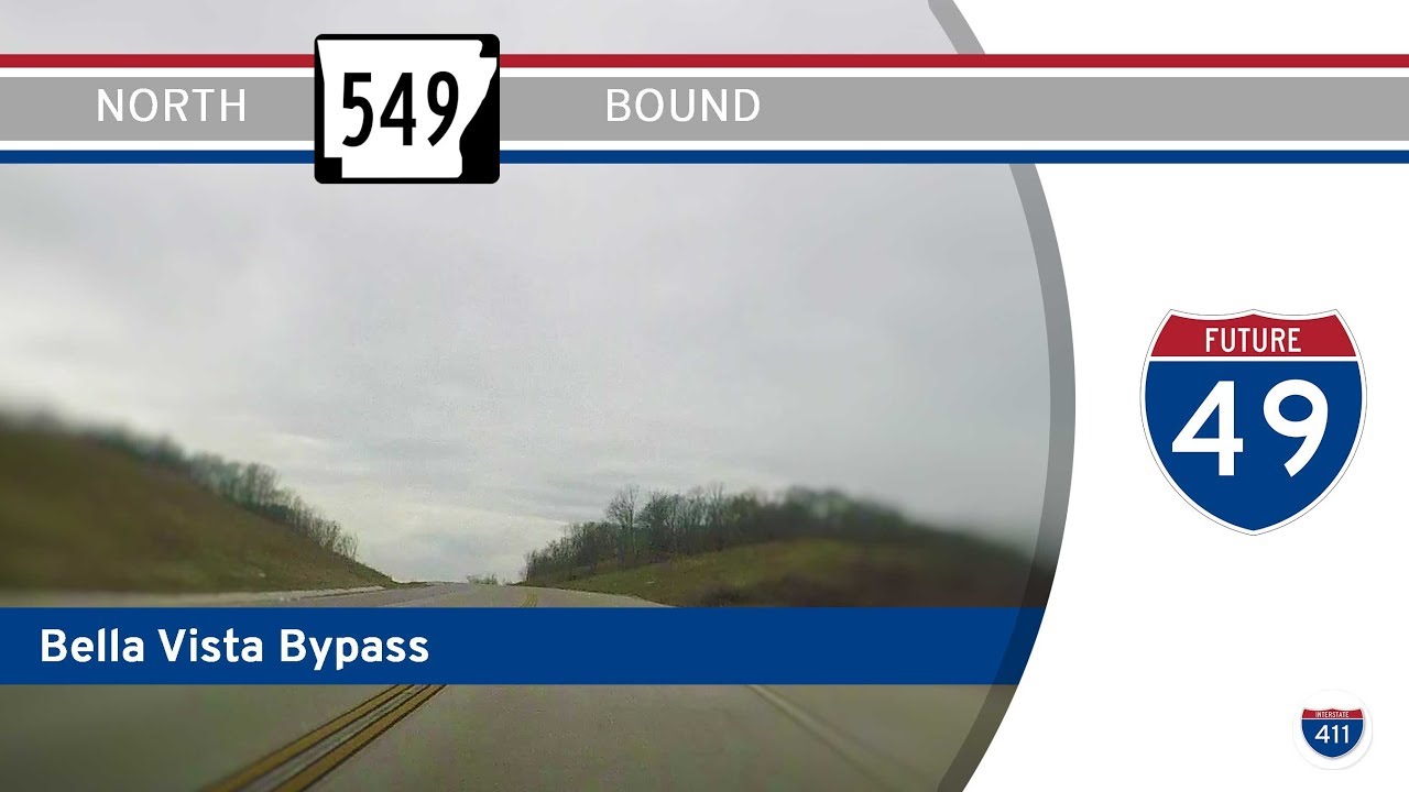
Experience the Bella Vista Bypass before it became part of Interstate 49. Drive north along the old AR-549 route in Northwest Arkansas and see the road as it was in its original two-lane form.
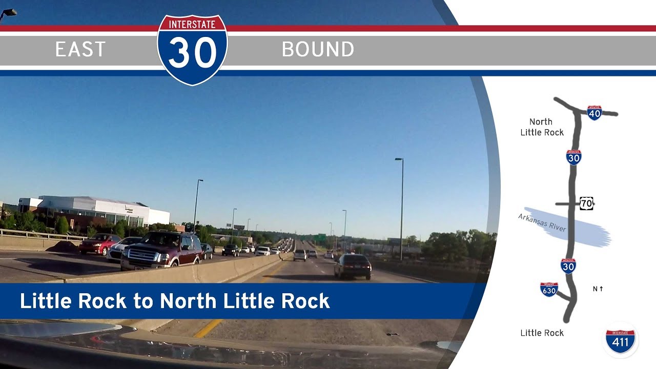
Experience the original route of Interstate 30 through downtown Little Rock before the 30Crossing rebuild. A quick trip over the Arkansas River into North Little Rock, capturing lost highway history.
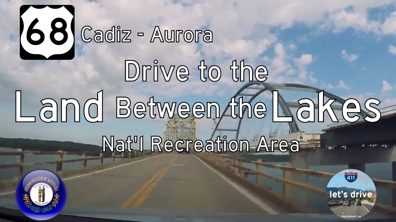
Take a scenic drive along U.S. Route 68 from Cadiz to Aurora, Kentucky. Explore 13 miles of rolling farmland, forested parkland, and lakeside beauty—including views of the old Lake Barkley Bridge before its replacement.
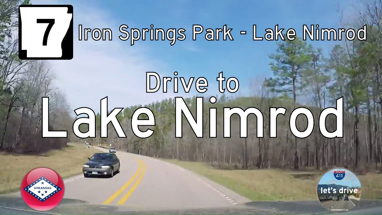
Take a scenic journey through the Ouachita Mountains on Arkansas Highway 7 from Jessieville to Fourche Junction. This 21-mile route winds through the Ouachita National Forest, passing historic stops like the Hollis Country Store and tranquil campsites along the South Fo…
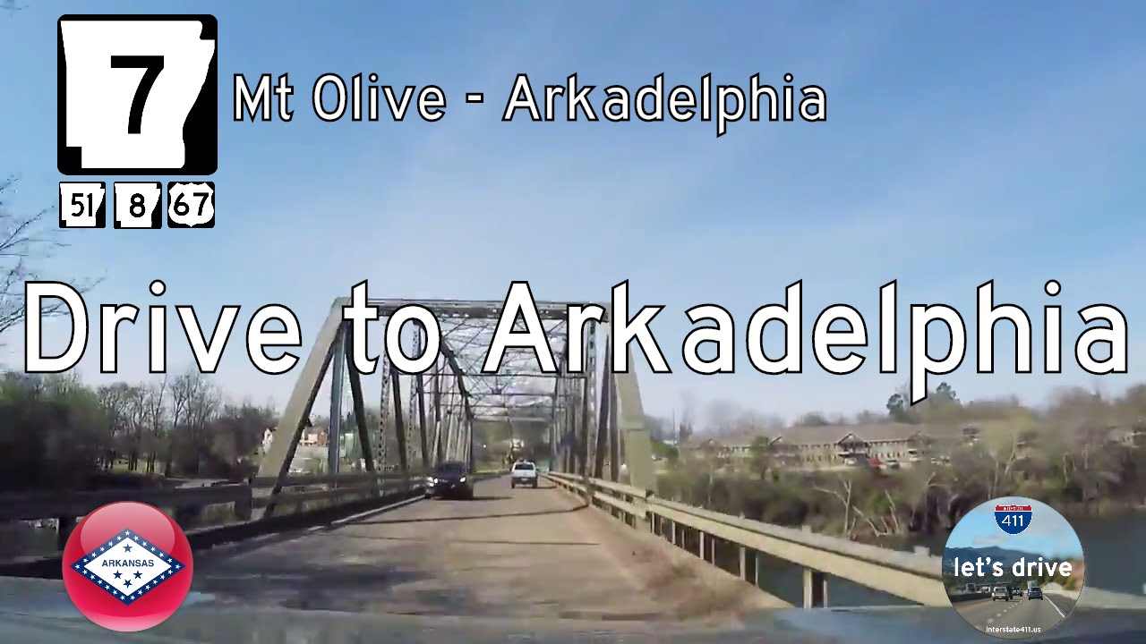
Follow Arkansas Highway 7 from Mt. Olive to Arkadelphia on a 14-mile journey through pine woods and rural junctions. See where AR-8 and AR-51 join the route and learn about recent highway realignments near Arkadelphia.
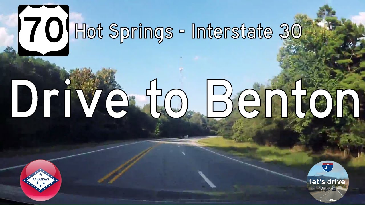
Take a drive back in time along the original U.S. Route 70 from Hot Springs to Benton, Arkansas. This 19-mile stretch—now a modern four-lane—was once a scenic, tree-lined two-lane road through the Ouachita foothills. Our video captures this now-lost alignment before…
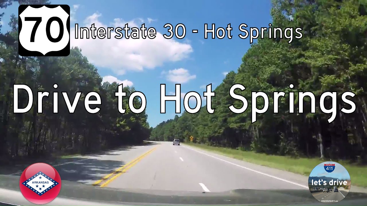
Travel west along a forgotten stretch of U.S. Route 70 from Benton to Hot Springs, Arkansas. This archival drive captures the two-lane highway before it was modernized into a four-lane corridor—offering a nostalgic look at rural Arkansas and the winding route once kno…
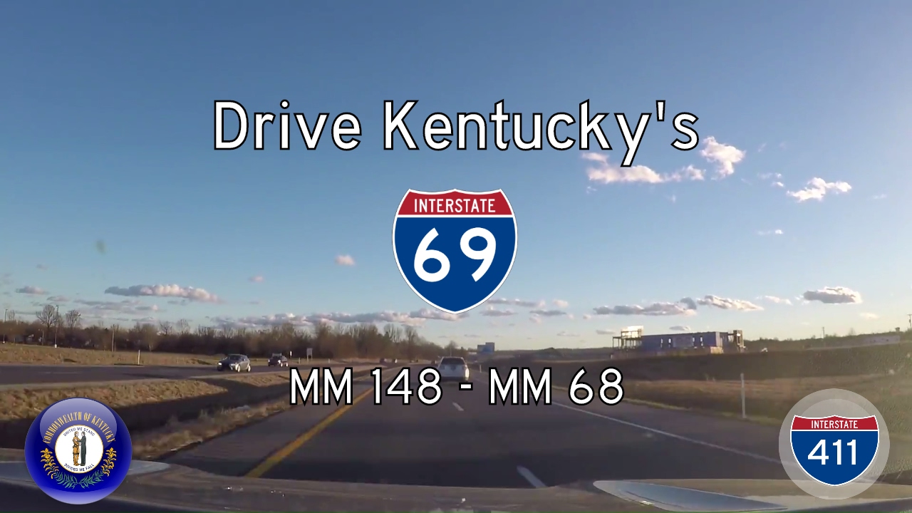
Drive 80 miles along Interstate 69 from Henderson to Eddyville, Kentucky — a modern route built atop Kentucky’s historic parkways. This scenic journey highlights rural landscapes, ongoing infrastructure upgrades, and the state’s role in the I-69 national corridor.
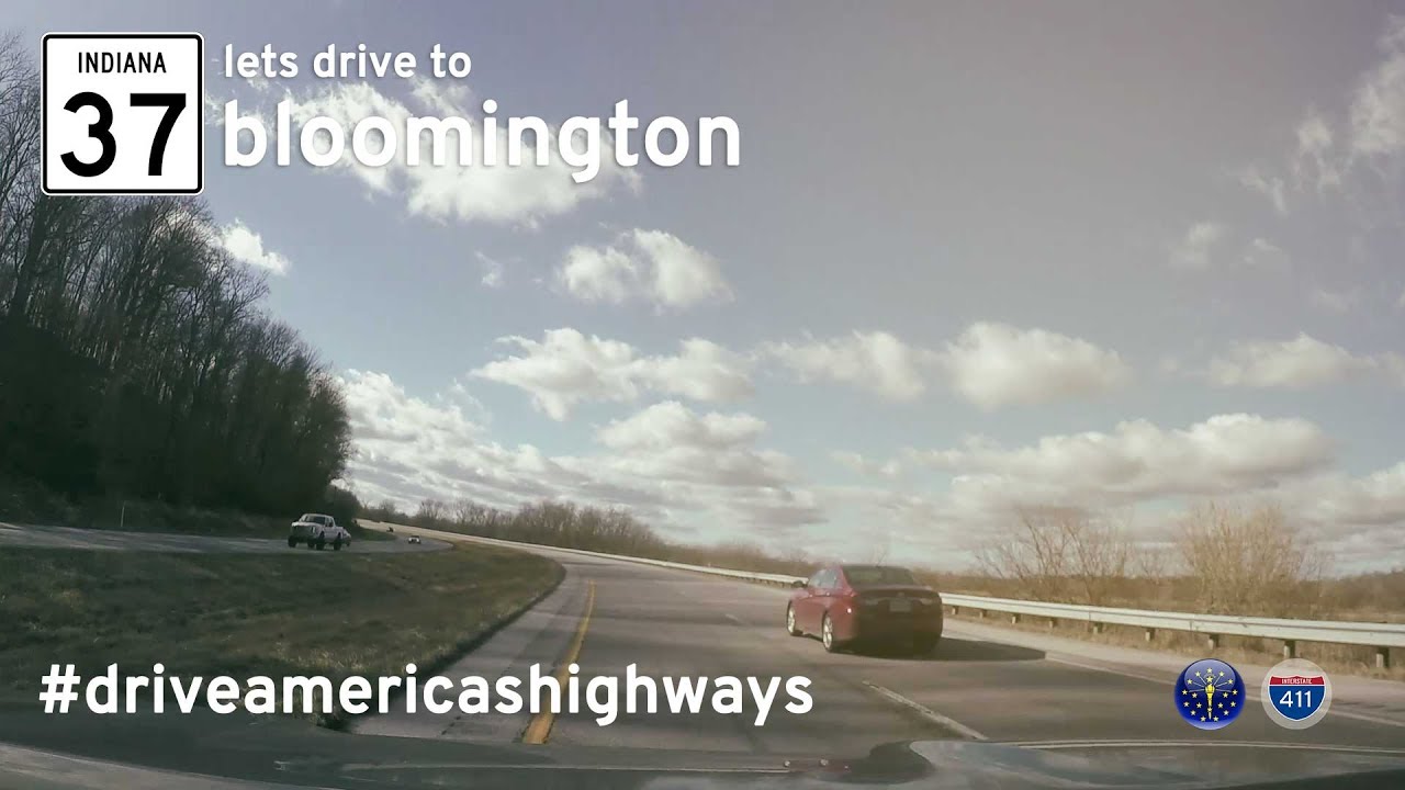
Drive 48 miles along Indiana State Road 37 from Indianapolis to Bloomington—capturing a now-lost version of the highway before its full transformation into Interstate 69.
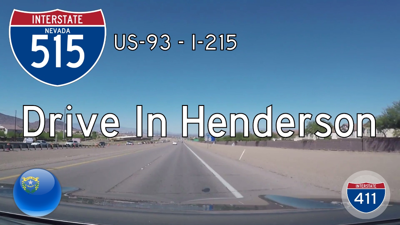
Take a short drive through Henderson to Las Vegas, Nevada, on Interstate 11 (formerly I-515). This 6-mile freeway segment reveals the blend of desert terrain, suburban growth, and highway modernization in southern Nevada. 🌵