Take a scenic drive down U.S. Route 550 from the Colorado state line to Aztec, New Mexico. This 15-mile route descends from high desert mesas into the fertile Animas River valley, blending beautiful landscapes with rich Native and local history.
The 🏜️ Desert tag marks routes that traverse arid landscapes, dry basins, and sunbaked terrain typical of the American Southwest and similar regions. These drives are often defined by sparse vegetation, rugged rock formations, and expansive, unbroken horizons under intense sunlight.
Desert-tagged segments offer a unique visual experience—shifting sands, red rock mesas, or salt flats depending on the location. They can be starkly beautiful but also challenging due to heat, limited shade, and fewer services along the way.
Take a scenic drive down U.S. Route 550 from the Colorado state line to Aztec, New Mexico. This 15-mile route descends from high desert mesas into the fertile Animas River valley, blending beautiful landscapes with rich Native and local history.
Take a quiet but beautiful drive along U.S. Route 550 from Durango, Colorado to the New Mexico state line. This 16-mile route winds through high desert plateaus, quiet ranchlands, and the southern edge of the San Juan Basin.
Take a scenic ride through the high desert of southwest Colorado on U.S. Route 160 from mile marker 10 to U.S. Highway 491. This 12-mile segment along the Trail of the Ancients offers expansive views, cultural heritage, and a quiet connection to the Four Corners landsca…
Travel along a storied 11-mile stretch of U.S. Route 160 from the Four Corners Monument into Colorado, crossing into Ute Mountain Ute Tribal Lands and experiencing the beauty of the Trail of the Ancients Scenic Byway.
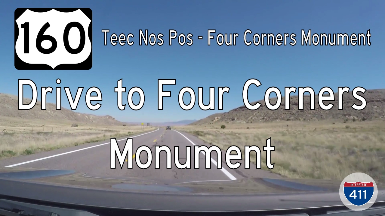
Take a drive through the heart of Navajo land as we follow U.S. Route 160 from Teec Nos Pos, Arizona to the Four Corners Monument in New Mexico. This short 6-mile route offers desert beauty, cultural depth, and a one-of-a-kind geographic landmark.

Travel 20 miles across the Arizona high desert on U.S. Route 160 from Red Mesa to Teec Nos Pos, ending at the gateway to Four Corners. Discover sweeping landscapes and Navajo Nation history along this scenic southwestern route.

Travel a serene 20-mile stretch of U.S. Route 160 from Mexican Water to Red Mesa, Arizona, through Navajo Nation lands. Discover stunning high-desert landscapes, Navajo culture, and the geology of the Colorado Plateau on this scenic drive.
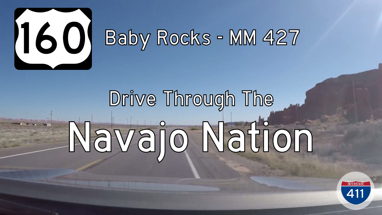
Travel 20 miles across the high desert of northeastern Arizona on U.S. Route 160 from Baby Rocks to Mexican Water. This remote stretch of highway winds through the Navajo Nation, past sandstone mesas, traditional communities, and sweeping desert vistas.

Travel a striking 15-mile segment of U.S. Route 160 from Kayenta to Baby Rocks, Arizona. Experience the beauty of Navajo Nation’s red rock formations, desert landscapes, and sculpted sandstone on this peaceful highway drive.
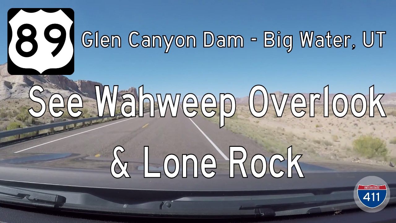
Take a scenic drive along U.S. Route 89 from Glen Canyon Dam to Big Water, Utah. This 14-mile route offers stunning views of Lake Powell, Navajo sandstone cliffs, and access to Glen Canyon and Grand Staircase-Escalante.
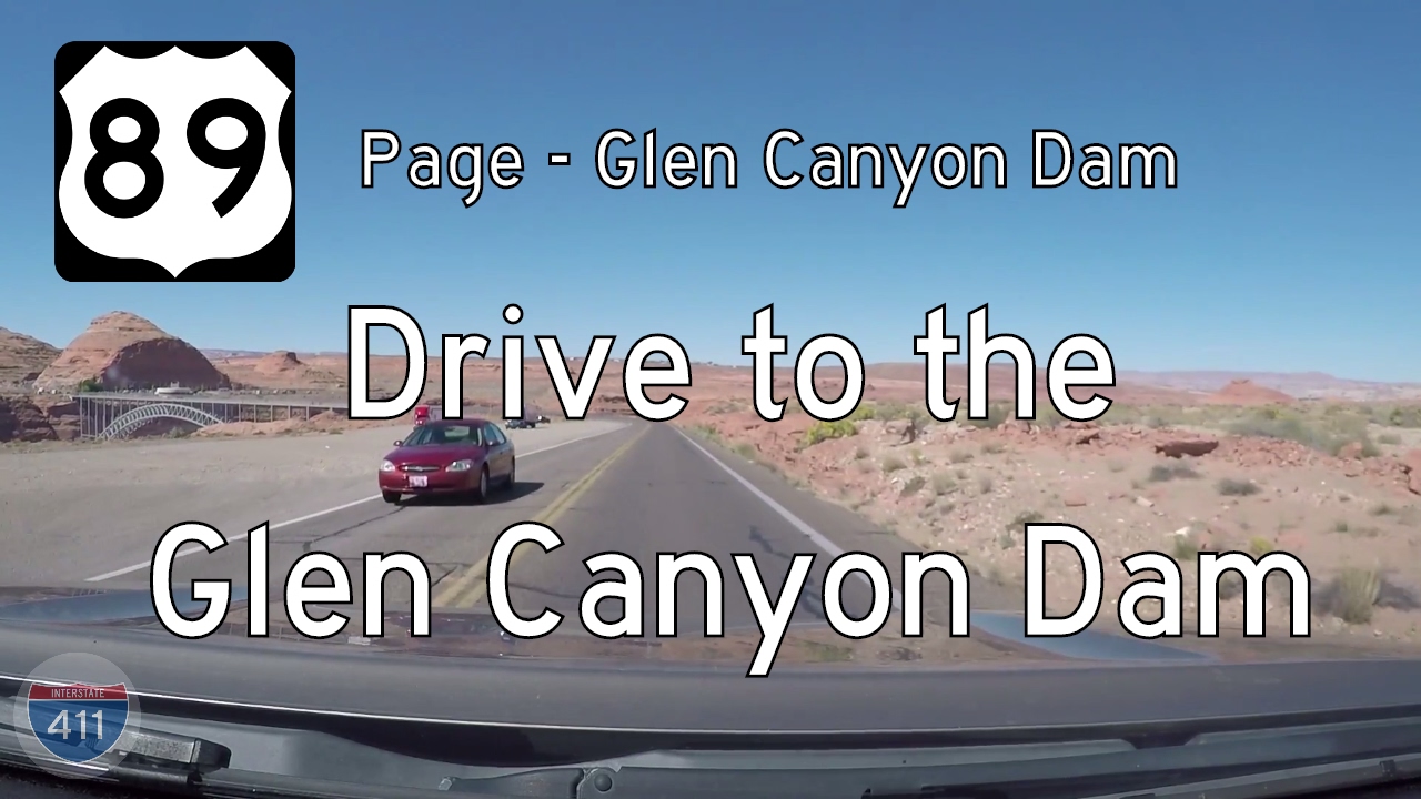
Take a scenic two-mile drive on U.S. Route 89 from Page, Arizona to the Glen Canyon Dam. Explore dramatic desert views, the Carl Hayden Visitor Center, and the mighty Colorado River along this iconic stretch of northern Arizona highway.

Take a short but breathtaking drive along U.S. Route 89 from Page to Horseshoe Bend in Arizona. This 2.5-mile route offers stunning desert views and leads to one of the most iconic vistas in the Southwest.