
Explore the heart of North Texas with us as we head north along Interstate 35W, one of the two primary branches of I-35 that split to serve the Dallas–Fort Worth metroplex. This 11-mile stretch takes us straight through the city of Fort Worth, beginning in the south and ending just past downtown on the northern edge of the city near Interstate 820. Along the way, we’ll navigate some of the city’s most critical junctions and get a street-level view of Fort Worth’s evolving skyline, bustling traffic corridors, and surrounding neighborhoods.
Our journey kicks off at the busy interchange where Interstate 35W meets Interstate 20 on Fort Worth’s south side. This area is an essential node in the region’s highway system, channeling traffic from southern suburbs like Burleson and Crowley northward toward the city center. As we merge onto I-35W northbound, we pass through primarily residential and industrial zones with occasional glimpses of big-box retail centers and commercial strips that line the access roads. It’s a part of town that reflects the working-class roots of Fort Worth—modest, functional, and always moving.
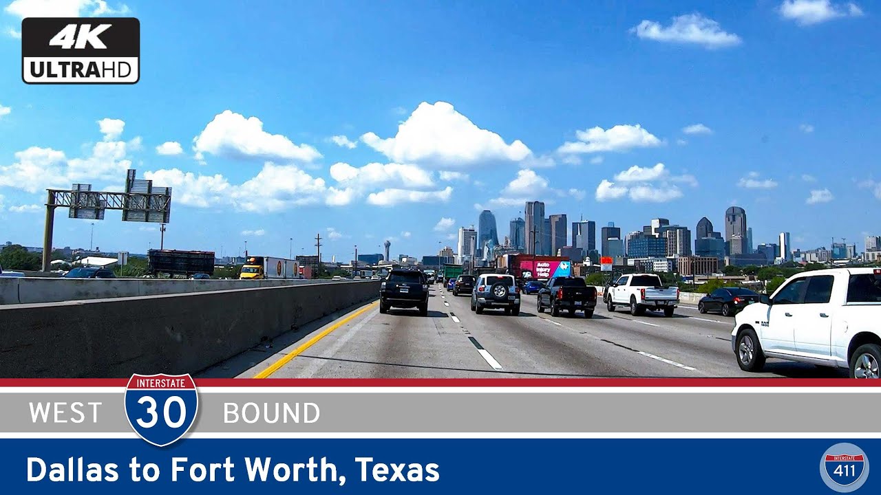
As we continue north, the density increases and soon the skyline of Fort Worth appears on the horizon. We approach downtown at the massive interchange with Interstate 30, a major east-west corridor linking Fort Worth and Dallas. Here, traffic thickens and the views open up, revealing high-rises, rail yards, and the Trinity River snaking just to the west. The next few miles through downtown bring us past Texas State Highway 280, a short spur that funnels traffic directly into the central business district, and SH-121, which curves northeast toward the Mid-Cities and Dallas/Fort Worth International Airport. These interchanges are key arteries in the region’s transportation network, making this stretch of I-35W one of the busiest and most vital in North Texas.
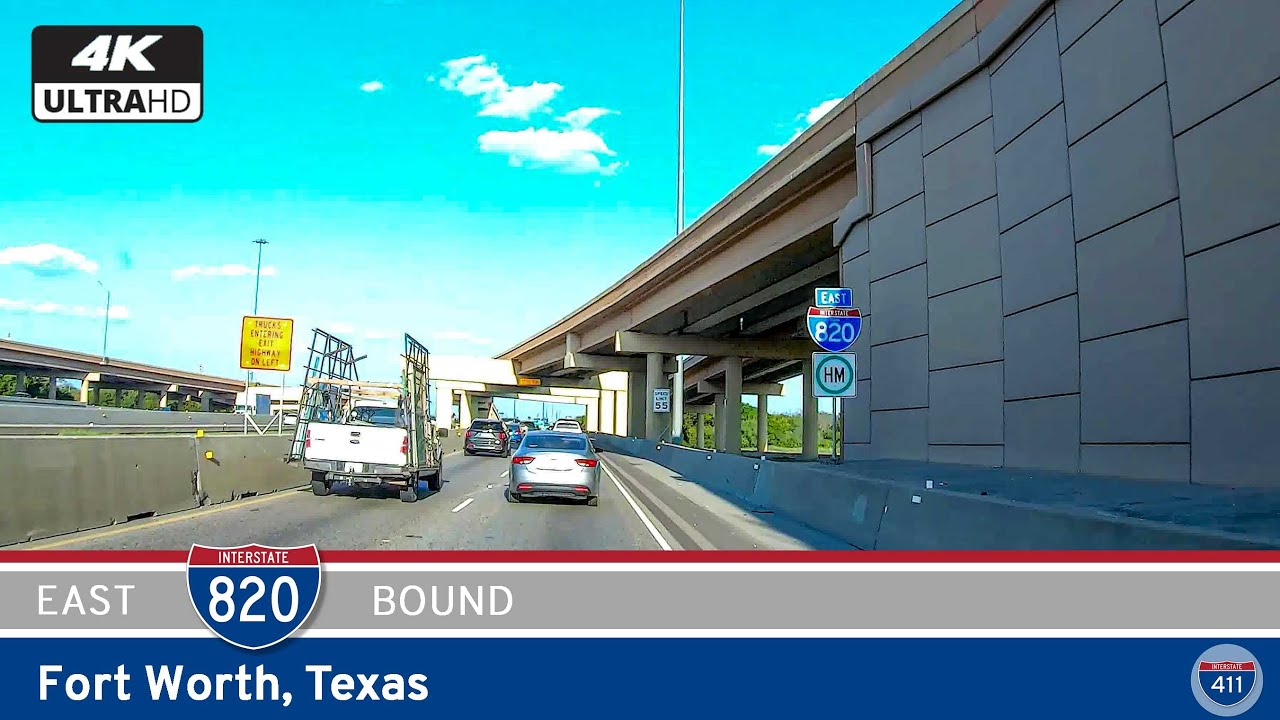
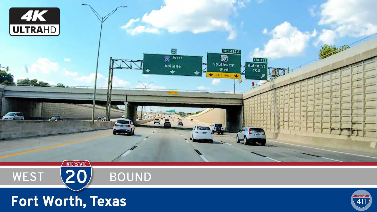
Leaving the urban core, the freeway begins to straighten out again, rising slightly in elevation and offering a brief view of the northern Fort Worth landscape. Suburban development becomes more visible, with a growing number of office parks, distribution centers, and newer residential neighborhoods popping up along the corridor. In just a few more miles, we reach Interstate 820, Fort Worth’s loop highway that encircles the city. Our drive ends here at the eastbound exit ramp, where travelers can choose to continue looping around the metro or branch off toward North Richland Hills, Haltom City, or eventually Dallas via SH-183.
While this segment of I-35W may seem purely utilitarian on the map, it’s anything but boring. Along this route, you’ll pass near landmarks like the Fort Worth Zoo, the TCU campus (a few blocks west of I-35W via I-30), and Panther Island Pavilion along the Trinity River. Downtown Fort Worth itself is worth a detour, with Sundance Square, historic architecture, and a surprisingly vibrant cultural scene that includes the Kimbell Art Museum and Bass Performance Hall.
So whether you’re commuting, road-tripping, or just soaking in the view from the windshield, Interstate 35W in Fort Worth offers a quick but impactful slice of one of Texas’ most interesting cities. It’s a route full of motion, connecting the southern suburbs to the city’s thriving core—and then pushing onward toward the northern reaches of the Metroplex.
🎵 Music: Track List
0 Comments