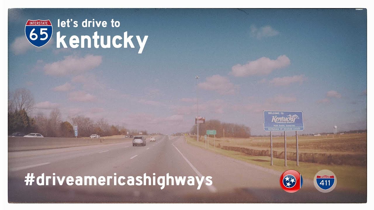
Take a short but dynamic ride through the heart of Indiana’s capital as we follow a 4-mile stretch of Interstate 65 southbound in Indianapolis, a corridor threading through the city’s urban core with purpose and momentum. This brief but vital segment carries us from the busy interchange where I-70 and I-65 part ways just east of downtown, slicing south through dense neighborhoods and industrial corridors before reconnecting with the city’s outer loop at I-465. It’s a snapshot of a city in motion—past, present, and future all converging on concrete.
Our journey begins at Exit 111, where Interstate 70 veers east and we continue solo on I-65. Immediately, the transition is felt: the skyline shifts slightly behind us while rows of mid-century commercial buildings and tree-lined avenues bracket the highway. We’re in the middle of Indianapolis’ near-east side, a zone that once hummed with the rhythm of railroads and factories. The interstate glides past Washington Street and the Keystone Avenue corridor, carrying us through areas that have seen gradual revitalization alongside long-standing community roots.
This corridor hasn’t remained static since our video was filmed in 2017. Notably, INDOT’s North Split reconstruction project, which began in 2021 and concluded in late 2023, completely rebuilt the interchange where I-65 and I-70 meet at the north/east end of downtown. The project eliminated problematic weaving sections, introduced modern ramp configurations, and replaced multiple aging bridges. Although the scope focused on the split itself, the ripple effects were felt along adjacent stretches—lane shifts, ramp closures, and fresh pavement mark the path of this modern overhaul. Travelers retracing this route today would find a smoother, safer drive and enhanced traffic flow.
As we approach Exit 107 for Raymond Street, the urban fabric subtly changes. Warehouses give way to residential areas with patches of green space and older homes that recall mid-century suburbia. This section of I-65 often serves as a commuter route for those living in southern Indianapolis or the adjacent township of Beech Grove. From this point, the city’s outerbelt—Interstate 465—comes into view. We conclude our drive at Exit 106, where I-65 joins I-465’s southern leg, offering routes east toward Greenwood or west to Indianapolis International Airport.
While only four miles long, this stretch of Interstate 65 provides a condensed view of Indianapolis’ diversity—its infrastructure, neighborhoods, and legacy of movement. It’s a corridor of connection, not just in a physical sense, but in its role tying together communities, histories, and futures. In just a few short minutes, we traverse an artery that pulses with the life of the city—old factories repurposed, streets humming with renewal, and pavement that tells the story of constant evolution.
🗺️ Route Map

0 Comments