
Take a scenic ride through the heart of West Virginia’s Appalachian countryside as we follow Interstate 79 from Morgantown to Charleston. This 148-mile journey winds through river valleys, rolling hills, and forested ridges—showcasing the Mountain State’s raw natural beauty and its blend of small-town charm and industrial heritage.
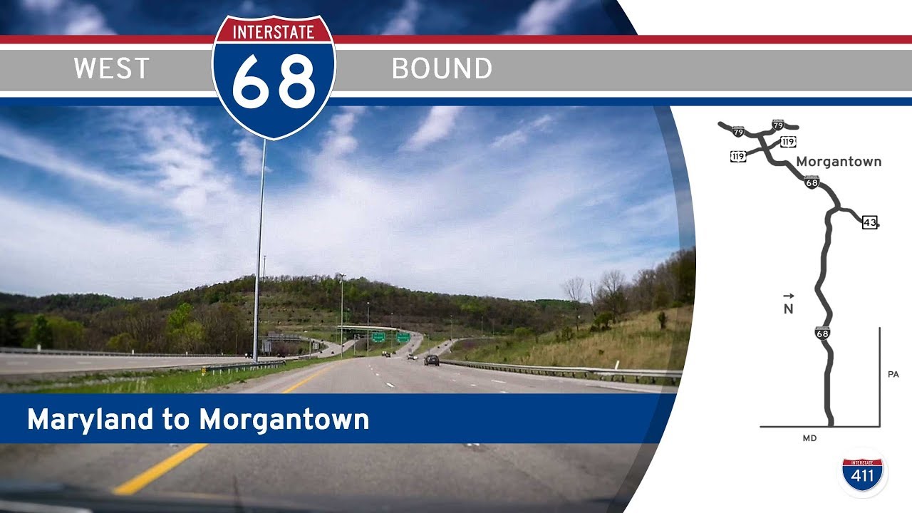
We begin our southward drive just outside Morgantown, merging onto I-79 from Interstate 68. Morgantown, home to West Virginia University, quickly fades in our rearview mirror as we glide into the undulating hills of Monongalia County. The highway cuts a smooth path through the northern Alleghenies, and almost immediately, we sense a shift from college-town bustle to rural tranquility. As we approach Fairmont, the landscape transitions to a mix of wooded hills and small industrial towns. The crossing with U.S. Highway 250 signals our arrival in Marion County—once a booming coal and glassmaking hub. A glance to the east would reveal the Monongahela River snaking its way through the valley, but we stay high on the ridge, cruising effortlessly southward.
Continuing into Harrison County, we soon find ourselves nearing Bridgeport, where a convenient rest area offers a brief chance to stretch and take in the crisp mountain air. Nearby, the North Central West Virginia Airport serves as a reminder of the region’s evolving economic landscape, balancing energy, aerospace, and manufacturing industries. At the U.S. Highway 50 interchange, the route briefly widens to accommodate increased traffic—a sign of the local significance of Clarksburg and Bridgeport. Rolling southward, the ridges feel closer and more forested, especially as we venture into Lewis County. The town of Weston, with its iconic Trans-Allegheny Lunatic Asylum just a few miles off the highway, offers a haunting brush with history. We cross U.S. Highway 119 here, a road that once served as the primary north-south route before I-79 took precedence.
Our journey remains smooth and swift through the central hills of West Virginia. In Braxton County, we encounter Flatwoods, often a popular halfway stop for travelers, where U.S. 19 briefly intersects our route. Locals affectionately refer to the area as “Sutton,” named after nearby Sutton Lake—a scenic Corps of Engineers reservoir offering boating and camping opportunities. Past Flatwoods, the highway subtly shifts from its southerly bearing, curving westward to follow the contours of the Elk River. The landscape flattens somewhat, with mixed hardwood forests giving way to glimpses of pastures and the occasional small town nestled in the river valleys.
Descending from the mountains toward the Kanawha Valley, we enter the greater Charleston area. The air becomes more urbanized, as the highway expands and traffic increases. Our journey concludes at the southern terminus of I-79 where it merges seamlessly into Interstate 77 near Charleston. The capital city’s skyline peeks through the valley haze, signaling the transition from the quiet rhythm of the mountains to the steady pulse of urban life along the Kanawha River. We’ve traveled the full sweep of central West Virginia—bridging the academic energy of Morgantown, the industrial backbone of Fairmont and Clarksburg, the scenic heartlands of Sutton, and finally, the governmental and cultural hub of Charleston.
🗺️ Route Map
0 Comments