
Take a scenic ride through Kentucky’s largest city as we follow Interstate 71 from the eastern edge of Louisville into its vibrant downtown core. This ten-mile stretch offers a look at suburban sprawl, historic riverfronts, and a constantly evolving urban skyline as we trace the path from Interstate 265 to the heart of Louisville, culminating at the sprawling interchange locals know as Spaghetti Junction.
Our drive begins just before the interchange with Interstate 265, known locally as the Gene Snyder Freeway, where the suburban neighborhoods of northeast Louisville give way to rolling woodlands and scattered business developments. Heading west on I-71 south, we quickly notice the transition from wide-open spaces to more densely packed surroundings. Large subdivisions and corporate campuses dot the hillsides, a testament to Louisville’s steady outward growth over recent decades. Traffic flows steadily as we bypass Brownsboro Road and Windy Hills, with glimpses of the Ohio River off to our right hinting at the city’s riverfront identity.
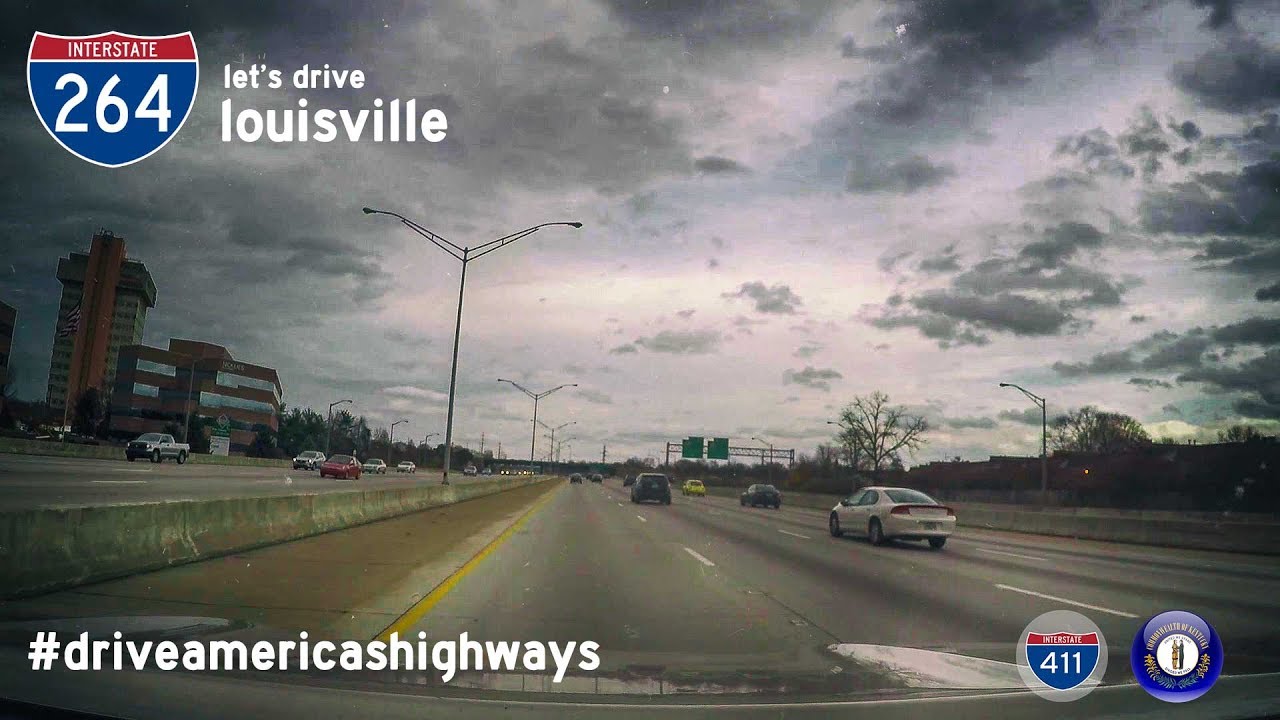
Approaching the interchange with Interstate 264, the Watterson Expressway, we turn briefly northward, hugging the contours of the city’s older neighborhoods like Crescent Hill and Clifton. This section of highway swings us closer to the Ohio River, which has long been a defining feature of Louisville’s commerce and culture. The highway narrows slightly here, and we encounter frequent merges and exits, including Zorn Avenue—a popular access point for the Waterfront Botanical Gardens and nearby parks along the riverbank. The character of the roadway shifts dramatically as wooded patches give way to the first true glimpses of the city skyline, marked by high-rises and the twin bridges over the river just beyond our line of sight.
As we continue along I-71, we descend gradually toward downtown Louisville, the buildings growing taller and the traffic more intense. By the time we reach the end of I-71, we enter Spaghetti Junction, the massive and recently reconfigured interchange where Interstates 71, 64, and 65 converge in a looping web of ramps, flyovers, and exits. This engineering feat was part of the Ohio River Bridges Project, which dramatically altered the layout to ease congestion and improve flow through downtown. We finish our journey by merging south onto Interstate 65, leaving behind the complexities of Louisville’s inner core and heading towards destinations like the University of Louisville and points further south.
This drive through Louisville showcases more than just infrastructure—it’s a microcosm of Kentucky’s largest city, highlighting its growth, its history along the river, and the constant motion of life in a bustling metro area. From wooded hillsides to riverfront attractions and concrete interchanges, the route serves as both a lifeline for commuters and a window into Louisville’s evolving landscape.
🗺️ Route Map
0 Comments