
Take a sunrise ride down the spine of Southern California as we descend through the legendary Cajon Pass, following Interstate 15 from Hesperia to Rancho Cucamonga. This 23-mile stretch offers a dramatic shift in both elevation and scenery, as we leave the High Desert behind and thread through the rugged terrain of the San Bernardino Mountains into the sprawling Los Angeles basin.
We begin our journey in the early morning light, merging onto I-15 from Ranchero Road in Hesperia. At this hour, the desert sky glows softly, casting long shadows across the Mojave landscape. The high desert plains are still and open here, but the looming ridgelines of the San Bernardino Mountains ahead hint at the descent to come. Within minutes, we begin our gradual southwestward push, with Joshua trees thinning as the highway angles toward the Cajon Pass—a historic corridor that has long connected inland California with the coast. Used by Native American traders, the Mormon Battalion, and wagon trains before us, Cajon Pass today carries a different kind of pioneer: the daily commuter and long-haul traveler.
As we skirt the northern boundary of the Angeles National Forest, the grade steepens noticeably. The descent into Cajon Pass is both scenic and intense, with sweeping views of the chaparral-covered slopes and the railroad tracks that snake alongside us. This stretch is an engineering feat—bridging tectonic faults and steep canyons to bring the modern interstate system through one of California’s most rugged natural gates. We pass Cajon Junction, a brief but busy cluster of gas stations and fast food joints, nestled at the halfway point between the High Desert and the valley below. From here, the highway turns more directly southward, and the elevation continues to drop. As the sun climbs higher, light floods the canyon, revealing layers of mountain ridges and the distant haze of the Inland Empire.
Continuing south past Keenbrook and under the towering high-tension lines that ferry power across the mountains, we cross the interchange with Interstate 215. Here, we officially exit the mountains and reenter civilization—San Bernardino spreading out to the southeast while we stay on I-15, bearing southwest once more. This final leg of our journey takes us through Nealey’s Corner, a semi-industrial junction where desert infrastructure meets suburban expansion. The transformation is palpable: rail yards, warehouses, and distribution centers begin to outnumber the natural ridges and rocky outcrops that defined the earlier portion of our drive. We pass under overpasses, through emerging suburbs, and finally reach Rancho Cucamonga, where the route levels out entirely and our descent through the Cajon Pass comes to an end at the interchange with California Highway 210.
From dawn to daylight, this drive through Cajon Pass is more than just a descent in elevation—it’s a journey through geological time and California history. The terrain may shift, but the road carries it all: freight and families, commerce and culture, each drawn into the gravitational pull of the Los Angeles basin. Whether you’re climbing or coasting, the Cajon Pass reminds us that even highways must bow to the land they cross.
🎵 Additional Music:
Aretes by Kevin MacLeod is licensed under a Creative Commons Attribution license (https://creativecommons.org/licenses/by/4.0/)
Source: http://incompetech.com/music/royalty-free/index.html?isrc=USUAN1100325
Artist: http://incompetech.com/
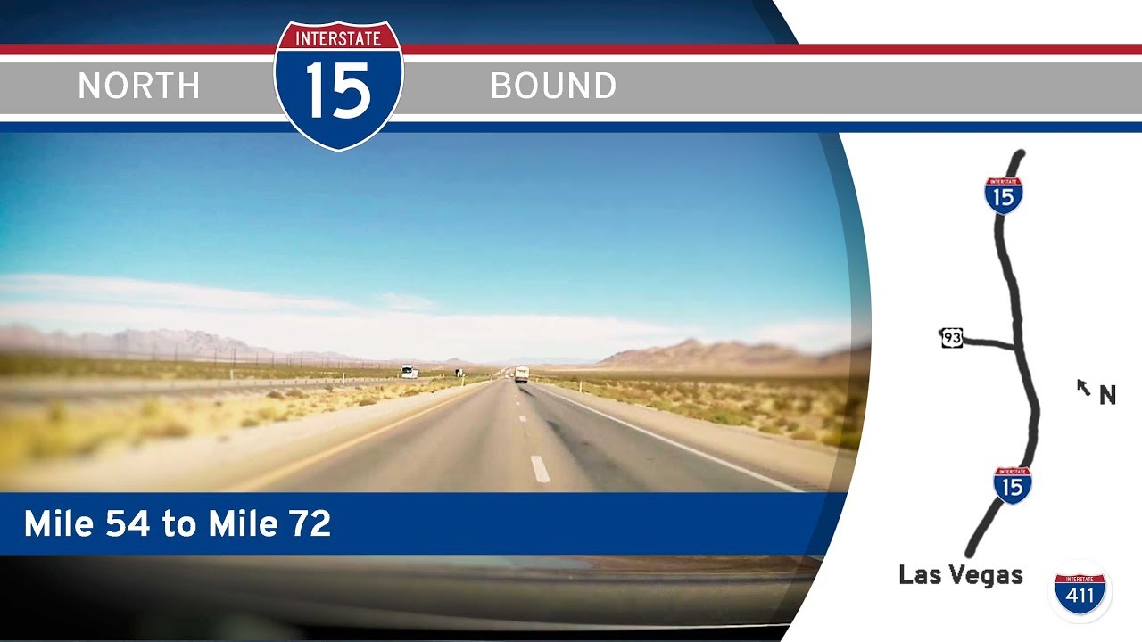
🗺️ Route Map
0 Comments