Take a ride across the rugged expanse of the Mojave Desert as we follow Interstate 15 from the outskirts of Barstow, California to the neon-flushed border town of Primm, Nevada. This 117-mile journey traces one of America’s busiest desert corridors, winding through sun-baked terrain, quirky roadside markers, and quiet desert towns on its way toward the Silver State. It’s a route that speaks of transition—between California and Nevada, between desolation and spectacle, and between the wide-open spaces of the Southwest and the glitz of Las Vegas beyond.
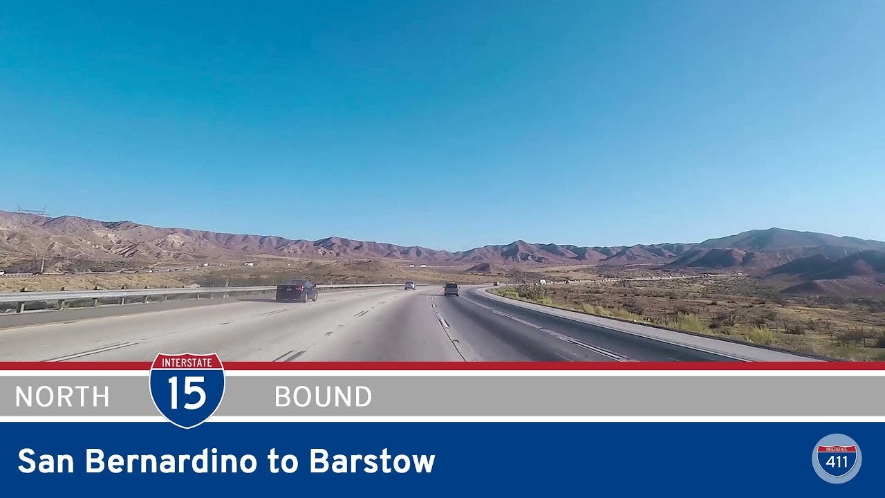
We begin our journey just southwest of Barstow, merging north onto I-15 at exit 178. The landscape here is already dusted with the arid hues of the Mojave, but Barstow—where Interstate 40 and CA-58 meet—still buzzes with the activity of a key highway hub. As we cross the interchange with CA-58, the route turns east briefly to pass through town. Glimpses of rail yards, fast food outlets, and vintage motels flicker past as we roll under the I-40 interchange, marking the western terminus of that cross-country highway. Just after the bridge over the Mojave River, Barstow fades in the rearview mirror and we’re thrust into the open desert.
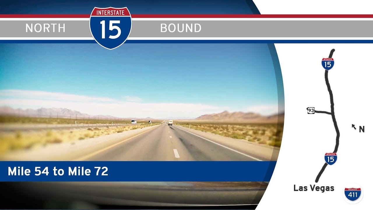
Now following a more northeastern path, Interstate 15 begins to reveal the true character of the Mojave. Sparse vegetation lines the shoulders of the road, and distant mountain ranges shimmer in the desert haze. There’s a rhythm to the rise and fall of the land here, broken only by the occasional roadside oddity. One of the most infamous among them appears at exit 239—Zzyzx Road, a name that’s puzzled and amused drivers for decades. Once a health spa and mineral spring resort founded in the 1940s, Zzyzx now serves mainly as a symbol of California’s eccentric history and the sheer emptiness that defines this part of the world.
Continuing north, the highway climbs slightly toward the town of Baker, long hailed as the “Gateway to Death Valley.” Here, the iconic World’s Tallest Thermometer rises 134 feet—commemorating the hottest temperature ever recorded on Earth. Gas stations and fast-food joints cater to travelers bound for Las Vegas, while the town’s sparse streets quietly stretch toward the horizon. From Baker, I-15 skirts the northern edge of the Mojave National Preserve, a sprawling wilderness of Joshua trees, lava fields, and sand dunes that sprawls far to the south. We pass through the tiny desert locales of Halloran Springs and Cima Road, each marked more by their remoteness than any built-up presence.
As we reach Mountain Pass, the elevation climbs above 4,700 feet—the highest point along I-15 in California. Near here, we pull off at a rest area nestled in the scrubby hills. It’s a brief moment of pause—an opportunity to breathe in the dry desert air and appreciate the sheer scale of the terrain we’ve crossed. Beyond the rest stop, we descend slowly from the pass, and signs of human ingenuity emerge once again in the form of vast solar farms—gleaming arrays that soak up the punishing desert sun and feed it back into the power grid.
The final stretch northbound is quick and dramatic. The Ivanpah Valley opens wide before us, and soon the clustered buildings and roller coasters of Primm, Nevada come into view. This border town is a surreal outpost of casinos and outlet malls, perched right on the state line and ready to greet travelers entering Nevada. We cross the border just past the Ivanpah Solar Electric Generating System, ending our journey where California’s harsh desert hands the reins to Nevada’s neon promises.
This stretch of Interstate 15 is more than just a fast lane to Las Vegas—it’s a reflection of California’s wild spaces, a desert rite of passage, and a drive through a timeless landscape shaped by heat, rock, and distant horizons. Whether you’re seeking the thrill of Vegas or just passing through, this leg of I-15 reminds us that even the emptiest places can be rich with history and strange beauty.
🗺️ Route Map
0 Comments