
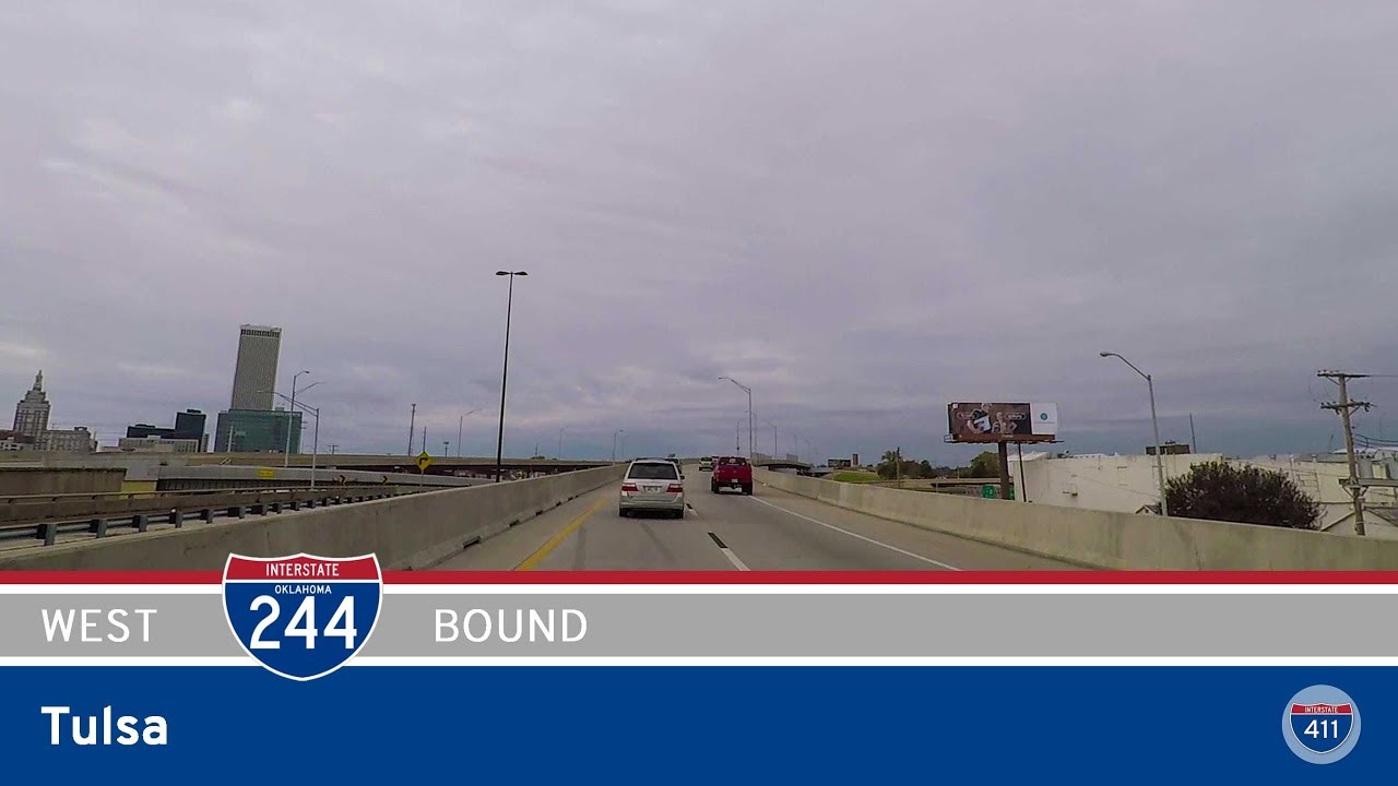
Take a drive through the urban pulse of Tulsa as we travel 15 miles east along Interstate 44, tracing a vital stretch of the Will Rogers Turnpike corridor through Oklahoma’s second-largest city. From historic industrial roots to modern suburban growth, this journey captures the evolving landscape of northeastern Oklahoma—bridging the bustle of urban life with the open highways beyond.
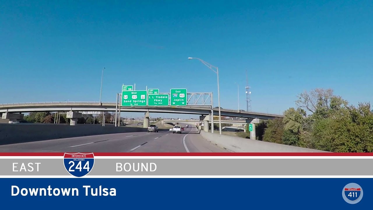
Our route begins where Interstate 244 hands off to I-44 in southwest Tulsa, near the interchange with Union Avenue. As we merge into the eastbound lanes, the road quickly settles into a wide, multi-lane expressway threading through a mixed patchwork of light industrial zones, commercial strips, and tightly packed neighborhoods. Not far ahead, we meet the stack interchange with US-75, a major north-south route through the city. This marks one of Tulsa’s busiest freeway junctions, serving as a gateway to downtown just a few miles north. We sail across the Arkansas River shortly afterward—a brief but scenic moment, with the river curving beneath us, hemmed in by greenbelt trails and riverside parks.
Passing through the Midtown area, we reach the interchange with Yale Avenue and soon after, the junction with US-64 and US-169—locally known as the Broken Arrow Expressway and the Mingo Valley Expressway, respectively. These crossroads form a dense hub of regional connectivity, pulling traffic toward suburban areas like Broken Arrow, Bixby, and Owasso. Here, the landscape begins to open up. Commercial centers give way to wider setbacks and more greenery, with glimpses of residential rooftops tucked between wooded corridors. It’s a subtle transition, but one that hints at the city’s gradual sprawl.
Just past the 11th Street exit, Interstate 44 makes a definitive eastward turn as Interstate 244 merges back into the mainline. This marks the eastern terminus of the inner-city loop—a point where Tulsa’s freeway grid begins to thin out into longer-haul routes. From here, the scenery tilts toward exurban. Subdivisions and strip malls become more spread out, and the terrain begins to roll gently as we edge closer to the edge of Tulsa County. We end our journey at the 165th Avenue interchange, just shy of the Creek and Muskogee Turnpikes—two key arteries that carry traffic toward Wagoner County and the Oklahoma Turnpike system beyond.
This segment of I-44 may lack the dramatic vistas of Oklahoma’s prairies or hill country, but it offers something else entirely: a snapshot of Tulsa in motion. From aging freeway interchanges built during the mid-century boom to rapidly developing suburbs reaching outward, the route captures a city constantly in transition. It’s a drive rich with context—where concrete corridors whisper stories of commerce, connection, and change.
🗺️ Route Map

0 Comments