Join us as we drive America’s Highways for 11 miles north along U.S. Highway 79 from Pine Bluff to Altheimer in southeast Arkansas. This short but pivotal stretch offers a mix of industrial crossings, rural farmland, and small-town charm, serving as a connector between Jefferson County’s largest city and one of its quietest agricultural communities.
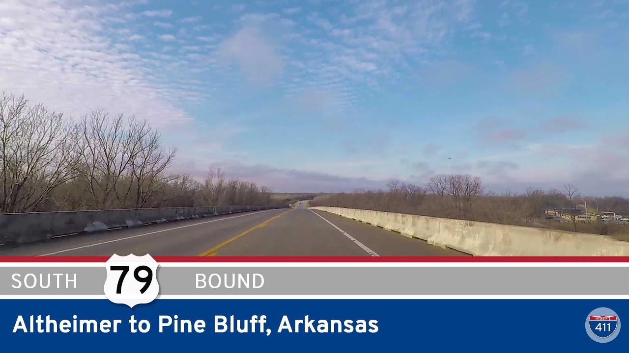
We begin our drive on the southeast side of Pine Bluff, turning east from U.S. Highway 65B onto U.S. 79. This area of the city is home to a blend of light industry, rail access, and residential neighborhoods—reflective of Pine Bluff’s working-class roots. As we proceed east, we pass the junction with Arkansas Highway 81, which serves traffic headed east to the Pine Bluff Mill. At this point, U.S. 79 shifts northeast, and our path takes us over the Arkansas River via a long, low bridge—a key feature of this route.
Crossing the river marks our departure from Pine Bluff’s urban limits as we enter the open fields that dominate this part of Jefferson County. Just past the river, we pass Rob Roy Road, where the highway straightens out for a peaceful rural cruise through one of Arkansas’s many flat agricultural basins. This region is all about farming—row crops, rice fields, and drainage ditches line both sides of the highway, and grain elevators rise in the distance like prairie skyscrapers.
As we continue north, traffic thins out and the landscape quiets down. The two-lane stretch of U.S. 79 becomes almost meditative, especially for those who enjoy the simplicity of straight roads and wide-open views. We approach Altheimer, a small town with a population under a thousand, rooted in cotton and rail history. Our drive concludes as we reach the intersection with U.S. 79B, which serves as a local spur into the heart of Altheimer.
While this route may be short, it’s representative of so many essential rural connectors in the South—linking communities, crossing rivers, and quietly supporting the flow of goods, people, and stories.
🗺️ Route Map
0 Comments